
⚓ OpenCPN: The Navigation App That Belongs on Every Boat
The open-source tool for real sailors who navigate by instinct and code.
🌊 Why We Trust It (And Why You Should Too)
Out here, there’s no room for fluff. You need tools that work offline, in storms, with salty hands and tired eyes. And if there’s one app that fits that profile, it’s OpenCPN — the free, open-source navigation software built by sailors, for sailors.
This isn’t some shiny app made in a boardroom. It was born at sea, shaped by real problems and real passages. At Sailing Religion, we’ve used OpenCPN planning routes, dodging shoals, and even rethinking landfall mid-crossing. If you sail with a laptop or tablet onboard, this should be on it.
🧭 What Is OpenCPN?
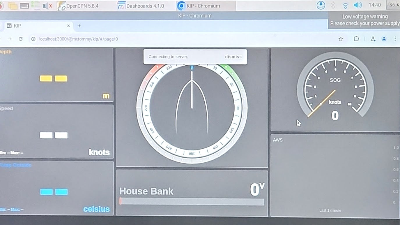
OpenCPN stands for Open Chart Plotter Navigator — a full-featured marine nav system that runs on your computer or Android tablet. It uses your GPS and chart files to give you real-time vessel tracking, route planning, and data overlays — without needing a constant internet connection.
It’s like having a professional chartplotter — but customizable, powerful, and totally free.
🧩 Core Features That Make It a Beast at Sea
✔️ Cross-Platform (Windows, Mac, Linux, Android)
Run it on your boat computer, old ThinkPad, or rugged tablet. Doesn’t matter — it just works.
✔️ Chart Flexibility
Supports raster (RNC) and vector (ENC) charts — official or homemade. You choose what works best for your waters.
✔️ GPS + AIS Integration
Plug in a USB GPS or connect to your boat's instruments — get real-time tracking of your boat and surrounding traffic.
✔️ Massive Plugin Ecosystem
Weather routing, radar overlays, GRIB file readers, celestial tools — whatever your style of navigation, there’s a plugin for it.
✔️ Offline Capable
Download your charts once, and that’s it. No signal? No problem. OpenCPN doesn’t care if you’re 200 miles offshore.
🛠️ How We Use It on Board
At Sailing Religion, we like gear that doesn’t talk back. OpenCPN lets us:
-
Plan multi-day passages in sketchy weather with weather routing plugins
-
Keep a digital nav station running on a second screen
-
Quickly switch between chart formats when sailing in unfamiliar zones
-
Track vessels via AIS when visibility drops or night watch hits
It’s become our backup chartplotter, our night nav system, and our favorite way to geek out on the anchor.
📥 Where to Get It
-
🌐 Official site: https://opencpn.org
-
📥 Direct download: https://opencpn.org/OpenCPN/info/downloadopencpn.html
-
📱 Android version: OpenCPN on Google Play
Tip: Install it, load your charts, and test it while you're docked. Learn it like you’d learn your sails — before you need it.
🧭 Final Bearings
If you’re looking for a flashy app with neon buttons and a subscription plan, this ain’t it.
OpenCPN is a sailor’s tool — raw, customizable, and proven offshore. It won’t win design awards, but it might help you make it into port when the fancy stuff dies.
We love it because it’s authentic, efficient, and free — just like real sailing should be.
Set your own course, trust your tools, and carry backups.
OpenCPN is one of ours. Add it to your nav kit.
At Sailing Religion, we share this info because it matters—not because anyone’s paying us to. We don’t earn commissions or get sponsored. We only talk about gear we actually use and trust on the water
Live free. Sail hard.
— Sailing Religion ⛵
2 comments
Elvasco
“Welcome aboard! To make sure we’re on the same chart: are you asking about the River Tamar in the UK (Devon–Cornwall) or Tasmania? A location pin helps. Also share your vessel type/draft and planned season. These details shape tides, waypoints, and safe anchorages. I’ll map out precise notes once I have them. Fair winds — Sailing Religion Crew.” you can send us an email to contact @sailingreligion.com to keep it private
John Allison
Need navigation for the Tamar estuary and river
Leave a comment
All comments are moderated before being published.
This site is protected by hCaptcha and the hCaptcha Privacy Policy and Terms of Service apply.